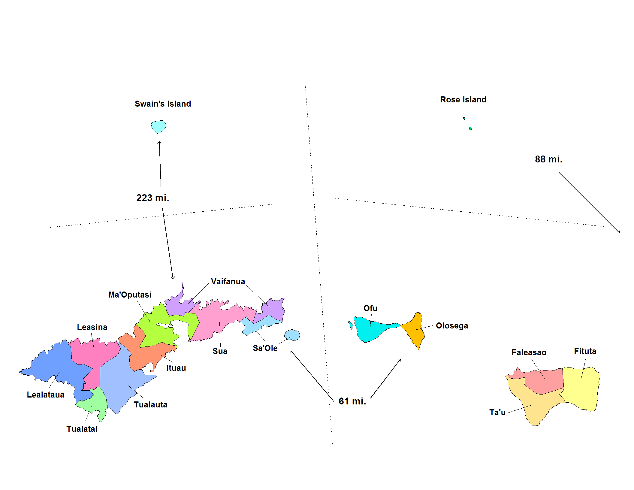
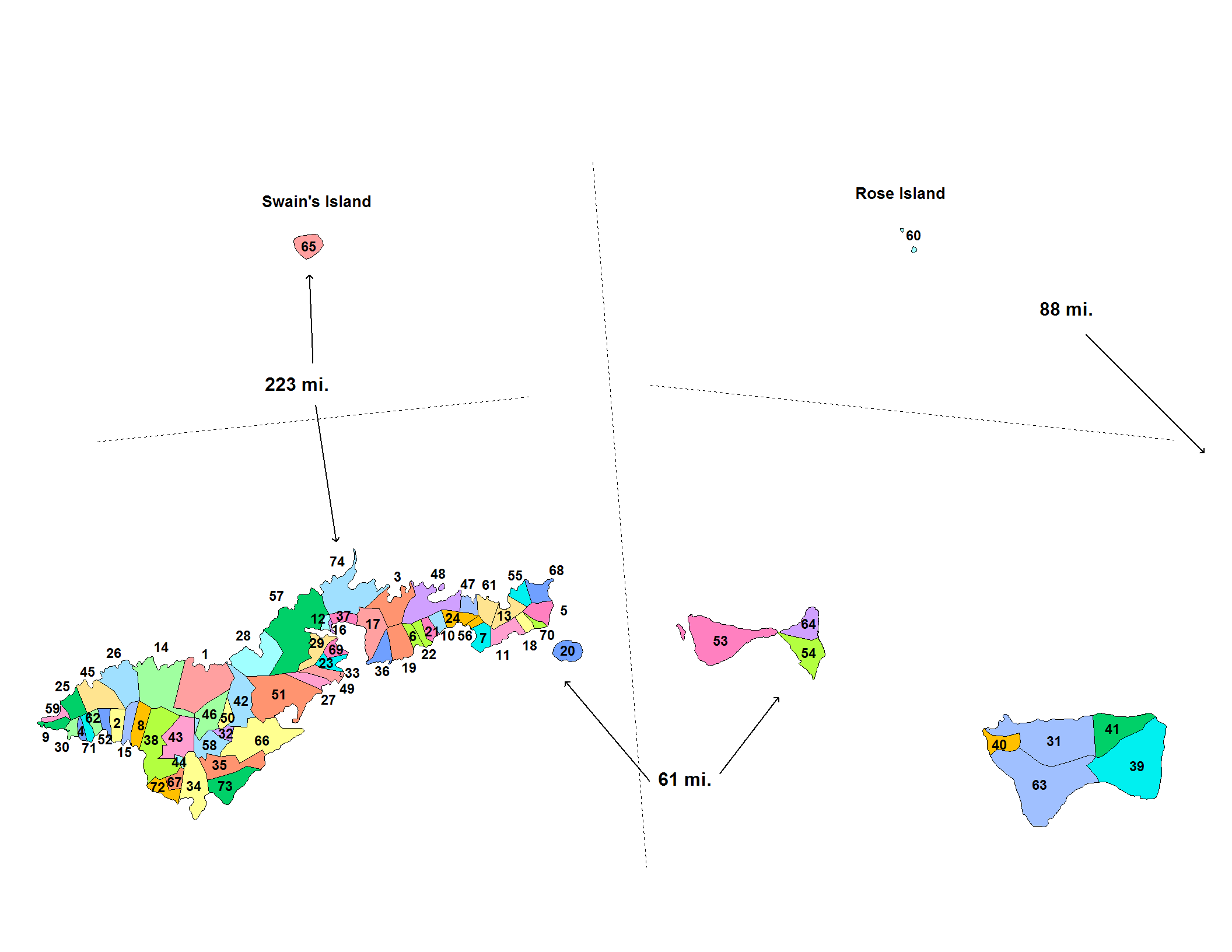
美屬薩摩亞行政區劃分為3個區(district)與2個無建制環礁(unorganized atoll)。3區2環礁又劃分為16個縣,74個村。
基本介紹
- 中文名:美屬薩摩亞行政區劃
- 類別:行政區劃
區域劃分,建制環礁,村莊介紹,
區域劃分
美屬薩摩亞分為3個區(district)與2個無建制環礁("unorganized" atoll)。3區2環礁又劃分為16個縣,74個村。

美屬薩摩亞的郡
建制環礁
3個區與2個無建制環礁分為16個縣(County)。
美屬薩摩亞的區
美屬薩摩亞的郡
- 東區(Eastern District) 位於圖圖伊拉島東部
- Ituau County
- Ma'Oputasi County
- Sa'Ole County
- Sua County
- Vaifanua County
西區(Western District) 位於圖圖伊拉島西部
- Lealataua County
- Leasina County
- Tualatai County
- Tualauta County
馬努阿區(Manu'a District) 馬努阿區即馬努阿群島
- Faleasao County
- Fitiuta County
- 奧富縣(Ofu County)
- 奧洛塞加縣(Olosega County)
- 塔烏縣(Ta'u County)
羅斯環礁(Rose Atoll)
斯溫斯島(Swains Island)
村莊介紹
美屬薩摩亞的村

